
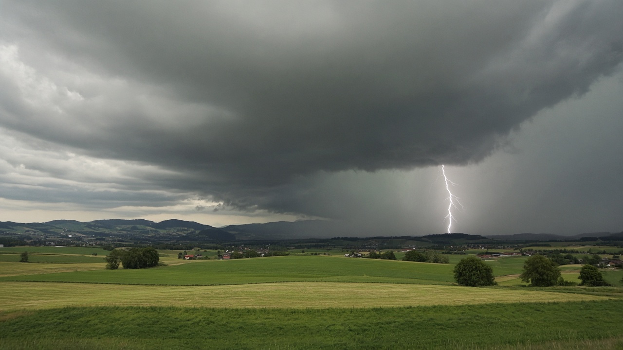
ZURICH - MeteoSwiss said on Thursday that a new warning system is in public operation this summer, after four years of development. Every five minutes it reads radar and lightning data for the whole country and estimates the chance of hail, lightning and heavy rain over the next hour. Users see it in the MeteoSwiss app and on the website. The office says the aim is fewer false alarms and a faster warning.
It is the first time the office has used a deep-learning model to issue warnings. The model was trained on a large set of Swiss storms and on how those storms move. That training ran on supercomputers in Lugano. The government presented the step as an operational tool, not a research demo.
Forecasters are still in the loop
MeteoSwiss was explicit that the algorithm does not retire the duty meteorologist. Complex situations still need a person who can override a neat probability. That sentence matters because the same office spent July arguing that radar hardware is at risk in the savings round. The software is only as current as the radar feeding it. That argument is in our 13 July interview.
Why the next hour is the product
A seasonal forecast tells a farmer how the month looks. A five-minute update tells a festival, a building site or a rail controller whether to move people in the next hour. August has already produced the kind of heat that builds those storms, including the tropical nights at Locarno. Thursday's release is the tool meant to sit between the radar and that decision.