
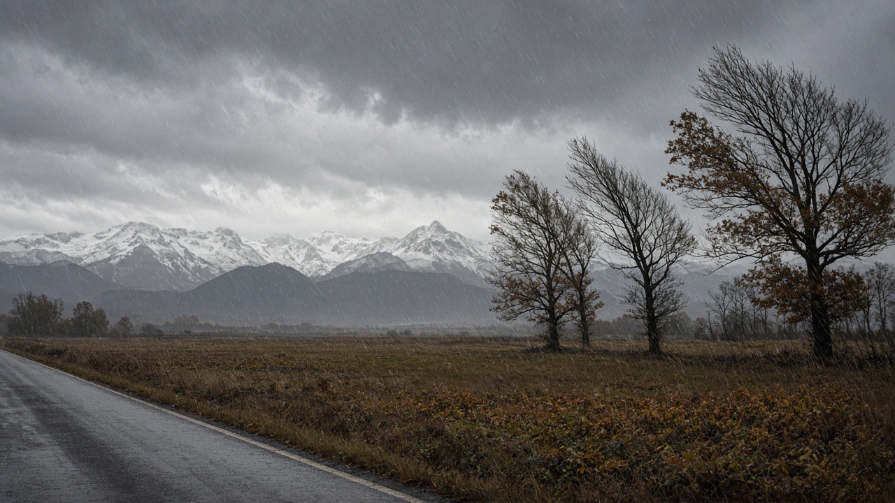
BERN - The warning, reported on Tuesday morning, covers the Jura and the Basel region, the northern Plateau, Zurich, Schaffhausen and parts of eastern Switzerland. Meteorologist Roger Wick told 20 Minuten that wind on exposed summits of the Jura, the pre-Alps and the Alps can reach 100 to 150 km/h, already hurricane force in places. In the northern lowlands he expects 70 to 90 km/h, and about 100 km/h on exposed ground.
Where the level 3 storm warning applies
Wick called it a full autumn storm. "This is not the end of the world, but it is definitely not weather to underestimate," he said. Large branches can break. Poorly fixed objects can be thrown about. On the mountains, he said, there is no reason to be on an exposed path or a summit at these speeds. MeteoSwiss warns of breaking branches and falling trees, and advises people to stay out of forests and other places dense with trees.
The most difficult hours run from Tuesday afternoon through the night into Wednesday, and into early Wednesday morning. The wind is forecast to ease for a time on Wednesday evening. Zurich sits inside the warned area, so city streets and the airport approaches are part of the same lowland forecast, not a separate alpine story.
Rain on the northern slope, and a high snow line
Rain comes with the wind. A strong westerly flow keeps feeding Atlantic showers into Switzerland. On the northern Alpine slope, in the western Bernese Oberland and in parts of western Switzerland, 35 to 60 litres per square metre may fall by Wednesday morning. The Plateau gets repeated rain. The south side of the Alps stays largely sheltered.
The snow line starts unusually high, around 2,300 to 2,500 metres. Wick said that means rain, rather than snow, in many winter sports areas at first. Monday's outlook had already flagged gusts of 100 to 150 km/h for midweek. Tuesday's step is the official danger level 3 for the north. The Gotthard pass road is already closed for the winter.
More wind on Thursday, then colder air
The pattern does not end on Wednesday. Further disturbances cross the country on Thursday and Friday, with more heavy rain and wind possible. Wick described a long, very dynamic westerly situation. Colder air arrives toward the end of the week. By Saturday the snow line could fall to about 1,000 metres, and the Alps would turn more wintry.
Anyone travelling through Zurich, Basel or the northern Plateau should allow extra time and avoid wooded stretches while the warning is in force. Monday's MeteoSwiss outlook still describes the broader week. The level 3 notice is the part that applies today.