
BERN - The rain that swept the northern side of the Alps from Thursday was, in the words of the federal weather service, meteorologically almost textbook. It was also far too little. Much of the 20 to 40 millimetres that fell simply evaporated or ran off the hardened topsoil, a MeteoSchweiz spokesperson said on Sunday, leaving the overall situation tense.
Over the past 30 days, precipitation across Switzerland has averaged below 50 percent of the long-term norm. Some stations recorded values reaching only 15 to 35 percent of what is typical for the season. The national drought platform continues to show the highest danger level, stage 4, for the entire country, with no sign of several days of sustained, widespread rain.
Record lows on the High Rhine
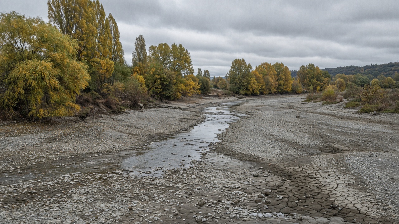
The strain is most visible in the rivers. Numerous measuring stations are registering flows that statistically occur only once in 15 to 30 years. On the High Rhine, record low values were measured. Groundwater levels and lakes also remain low for the season, a legacy of repeated warm spells with summer-like temperatures that stretched deep into autumn.
Up to 19 degrees, and little rain
The coming week offers little relief. MeteoSchweiz expects isolated drops at best and otherwise dry days, with maximum temperatures climbing to 19 degrees in the German- and French-speaking regions. The seasonal trend for October points to average rainfall overall, but not the kind of prolonged, soaking precipitation that would be needed to close the deficit.
There is one cautious hope in the drought bulletin: measured over 90 days, the precipitation deficits may slowly begin to shrink after a slight rise in the coming week. Farmers and insurers are watching the same figures after a summer that left an estimated CHF 59 million in crop damage from hail and drought across the country.